OS Explorer
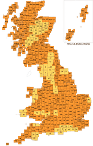
OS Explorer, (1:25,000) Specifically designed for walkers and cyclists. They have orange covers, and contain 403 sheets covering the whole of Great Britain (the Isle of Man is excluded from this series). These are the most detailed leisure maps that Ordnance Survey publish and cover all types of footpaths and most details of the countryside for easy navigation. https://en.wikipedia.org/wiki/Ordnance_Survey#Leisure_maps
Series 13
 | The Peak District Dark Peak Area | Soft cover |
 | Romney Marsh | Soft cover |
 | Purbeck & South Dorset | Soft cover |
 | Inverness, Loch Ness & Culloden | Soft cover |
 | Winchester | Soft cover |
 | Epping Forest & Lee Valley | Soft cover |
 | Loch Lochy & Glen Roy | Soft cover |
 | Bideford, Ilfracombe & Barnstable | Soft cover |
 | Cardiff & Bridgend/Caerdydd A Pen-Y-Bont Ar Ogwr | Paperback |
 | North York Moors Western Area | Soft cover |
 | Clovelly & Hartland | Soft cover |
 | London South | Soft cover |
 | North York Moors Eastern Area | Soft cover |
Added by elahrairah